We run. So we built it properly.
5kmDistance
84mTotal climb
795mHighest point
See the hills first
The full elevation profile, before you've laced up. Drag along it and you'll know which climb is waiting at kilometre six.
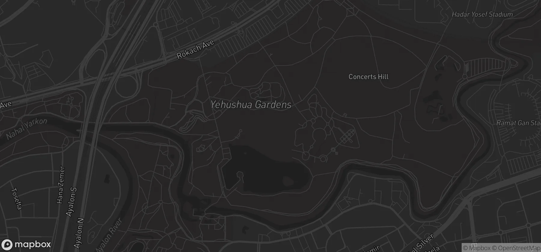
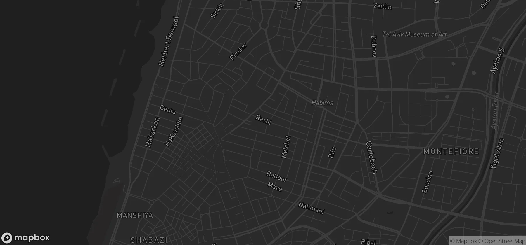
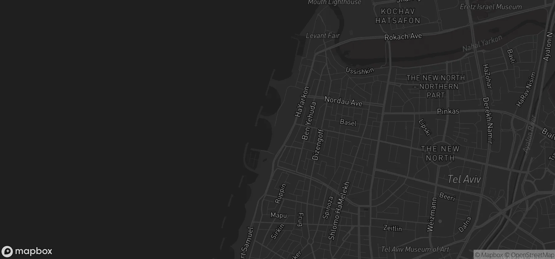
It follows the actual streets
Every point snaps to a road, a path or a trail. The number you see is the distance you'll actually cover.
Any distance, from anywhere
Ask for a 10K from your front door and you get a real one. Streets and paths that actually connect, ending back where you started.
It takes about a minute
Tap the map, or just draw with your finger.
It snaps to the streets and works out the climb.
Send it to your watch and go.
Works with the watch on your wrist
Garmin, Coros, Suunto, Apple Watch, Strava. Export once and it turns up where you need it.



Go on then. Draw something.
Coming soon to the App Store